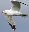
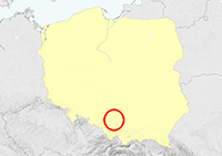
Larus cachinnans in Poland Larus cachinnans in Poland
(last update: August 01, 2021) |
Coordinator:
Marcin Przymencki
Klaudia Litwiniak
Mars Muusse
Home
Project Info
Blog
Team
Ring codes
Papers & PDF's
cachinnans in Poland
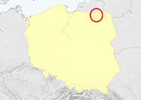
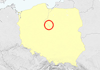
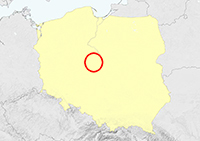
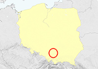
National distribution
Zastów Karczmiski
Kępa Nadbrzeska
Jeziórko
Jankowice
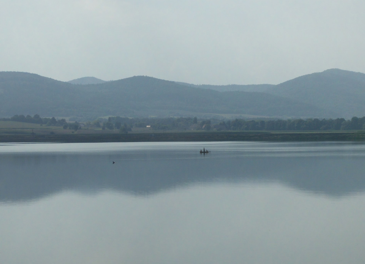
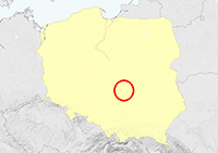
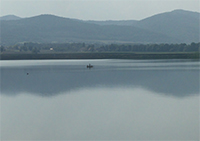
Mietków Reservoir & Chwałów
Kozielno & Topola Reservoir
Mokrzec
Wytyckie Lake
Dankowice / Foskowiec Pond
Czorsztyn Reservoir
Kuźnica Warężyńska / Pogoria
Dwory
small colonies or single sites |
 Caspian Gull cachinnans: small colonies or single sites Caspian Gull cachinnans: small colonies or single sites
|
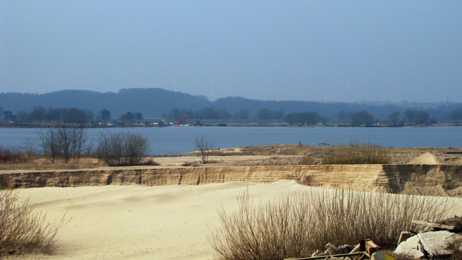
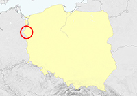
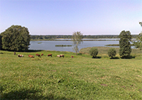
| Bielinek: 52°57'13.5"N 14°09'05.5"E, active gravel-pit along river Oder, the border with Germany. |
 |
 |
|
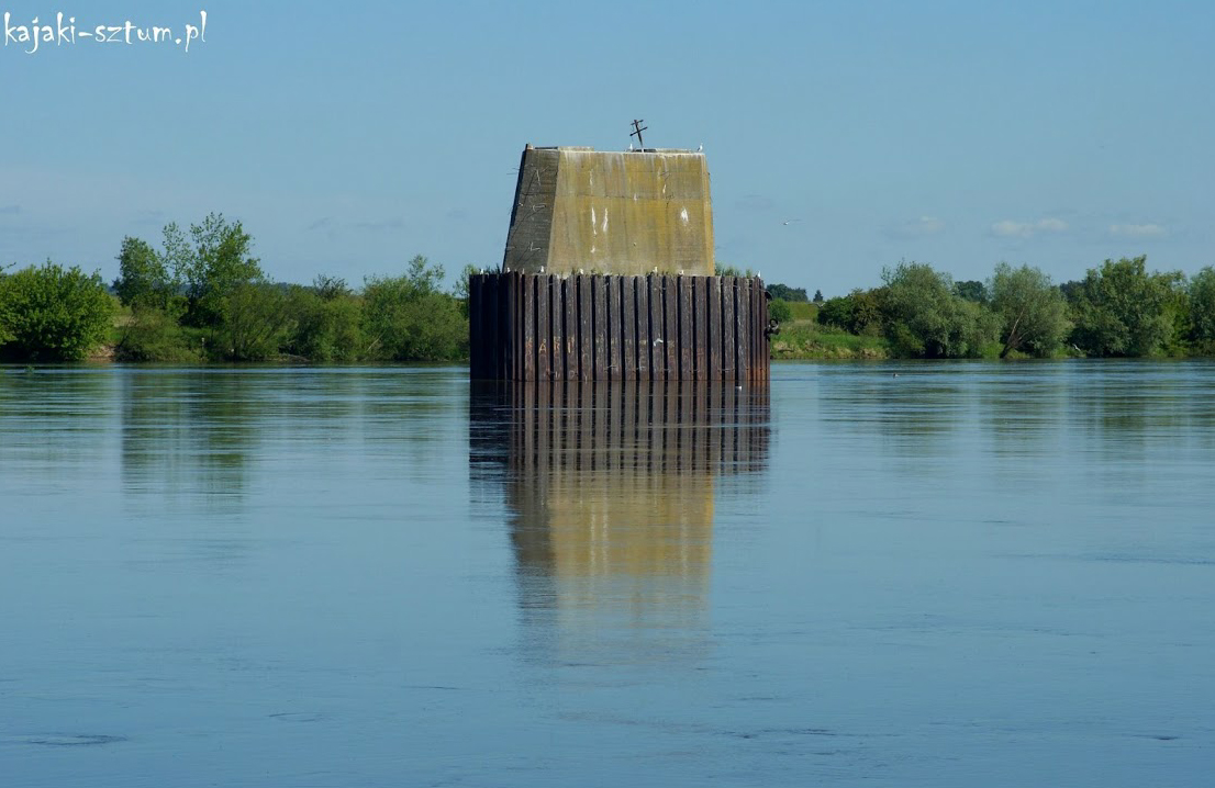
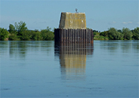
| Opalenie: 53°43'29.6"N 18°50'18.1"E, ruins of the bridge in Vistula river, about 70 km south of Gdańsk. Several birds breed on the pilers. |
 |
 |
|
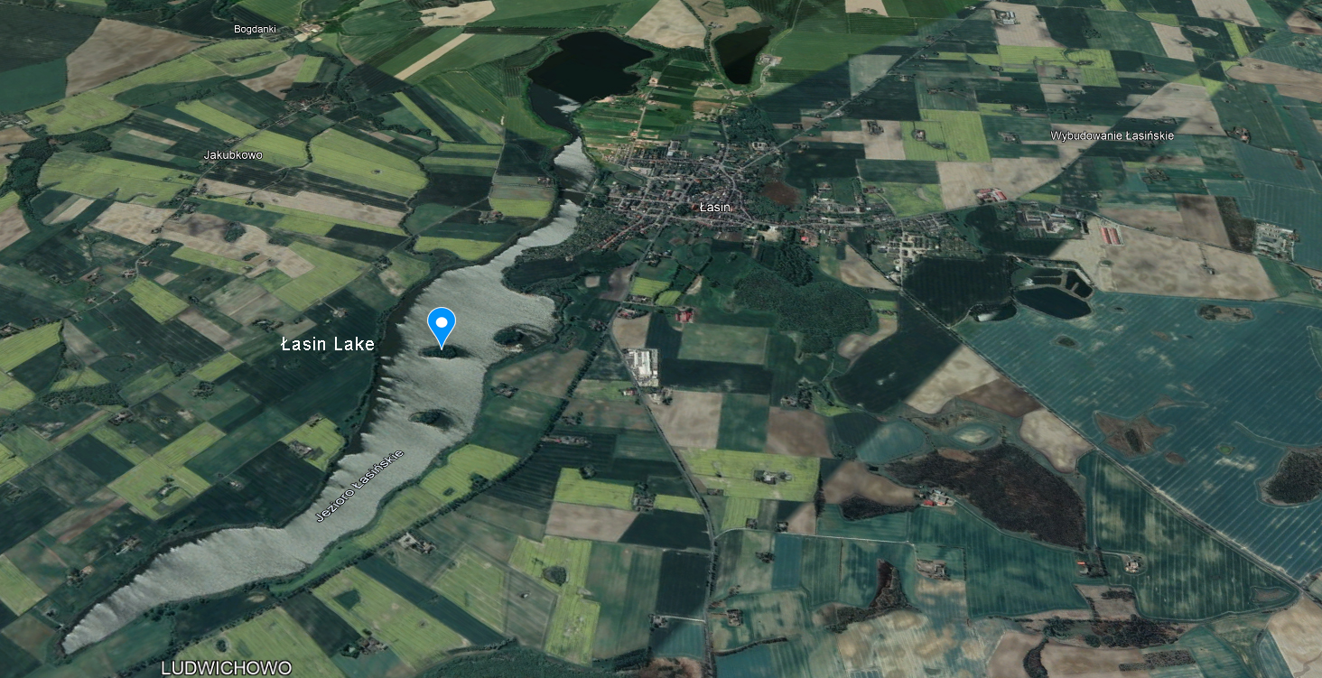
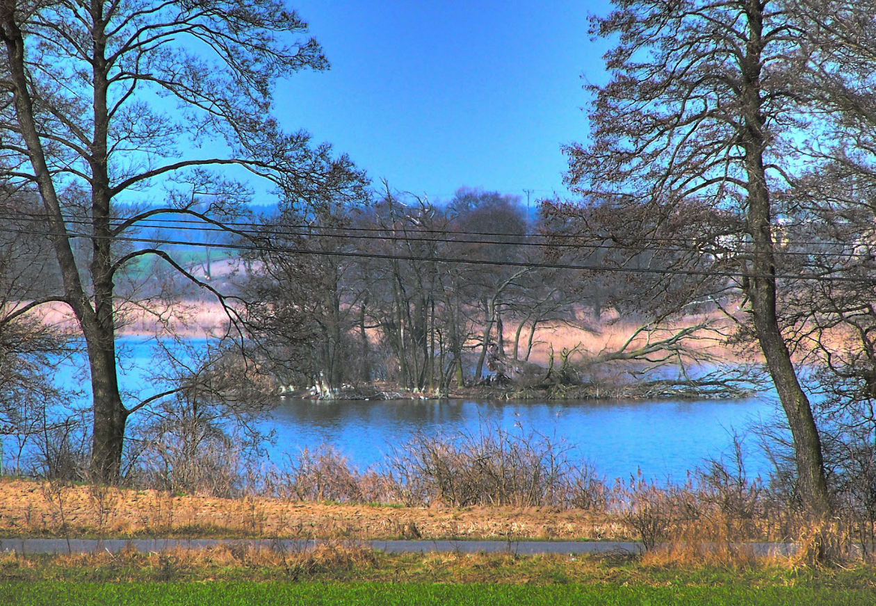
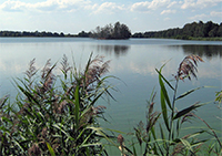
| Łasin Lake: 53°31'02.1"N 19°06'35.6"E, natural post-glacial lake with few small, vegetated islands. |
 |
|
|
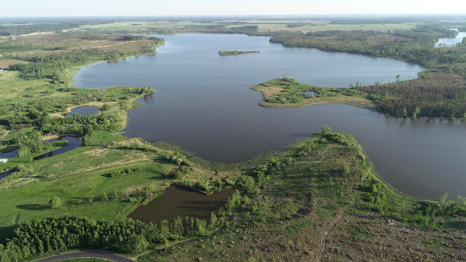
| Kirsajty Lake: 54°08'48.9"N 21°42'39.9"E, natural post-glacial lake in NE Poland, a region gifted with many small islands in post-glacial lakes. |
 |
 |
|
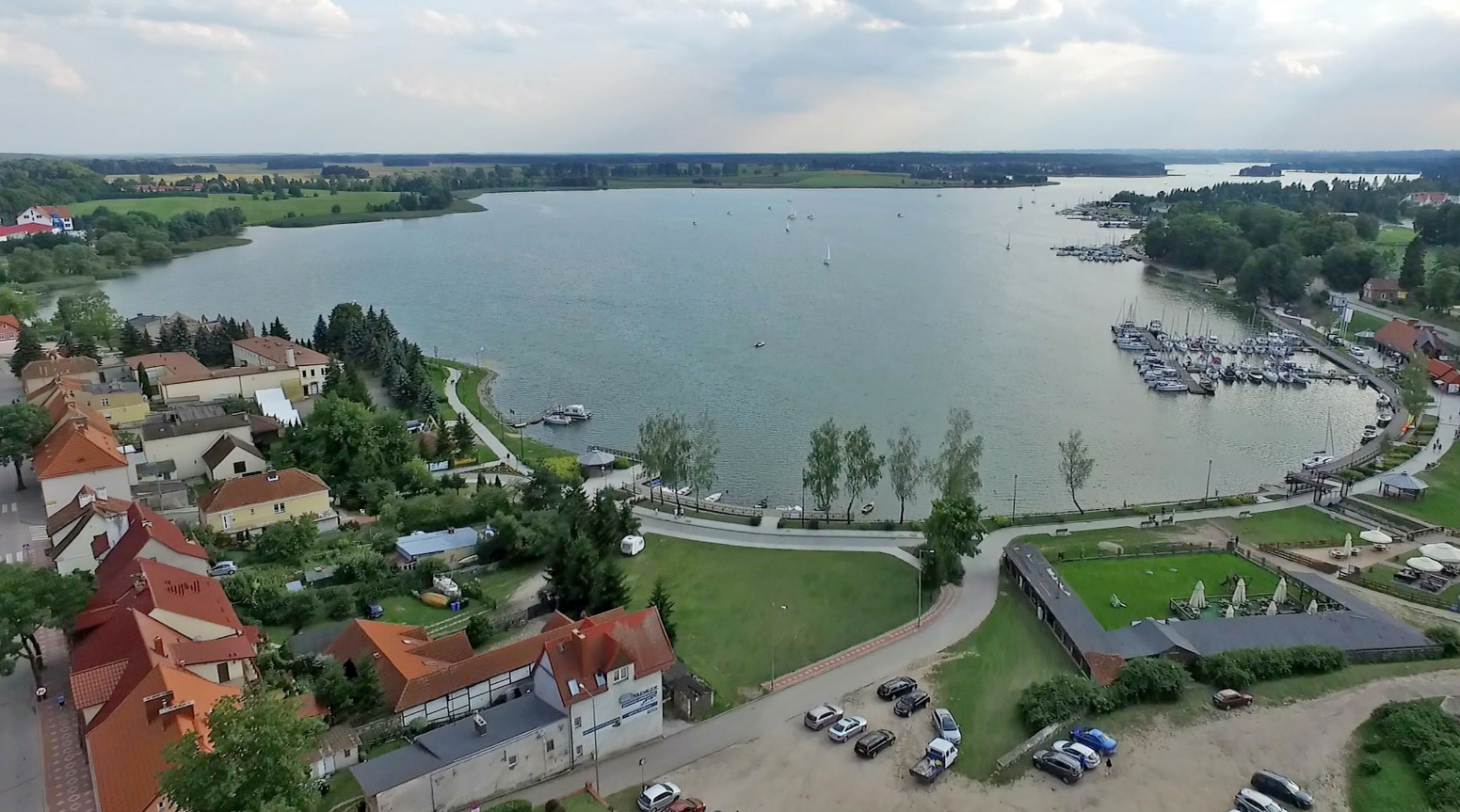
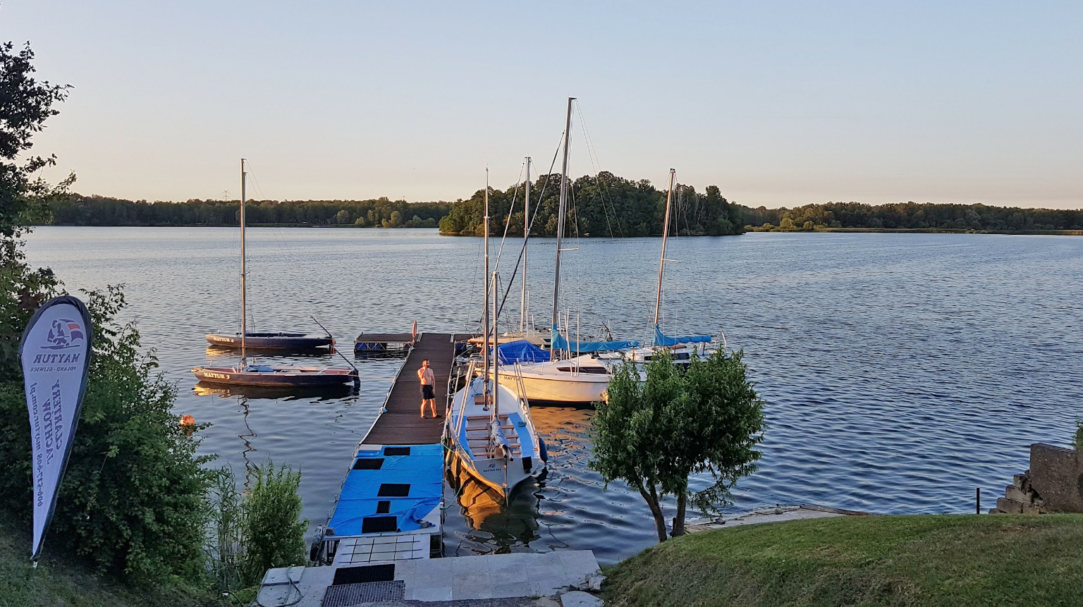
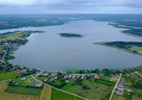
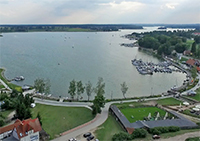
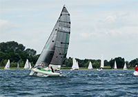
| Ryńskie Lake: 53°55'13.8"N 21°30'29.6"E, natural post-glacial lake near Ryn, a place famous for its sailing. |
 |
|
|
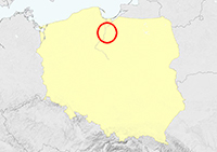
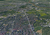
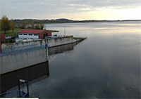
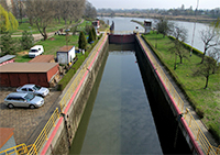
Włocławek: 52°39'11.6"N 19°08'30.0"E, breakwater on Vistula river and also roof-top of hall.
Once a much larger colony and one of the well-known colonies in central Poland, as for this colony mixed breeding between Herring and Caspian Gulls has been documented extensively. Also the location where ringing programmes were started early in the colonisation process of Caspian Gull, resulting in many observations abroad. A detailed page HERE, with loads of images of ringed birds. |
 |
 |
 Larus cachinnans 8CY-9CY male 896P 2006 & 2007, Wörth, Austria & Włocławek Reservoir, Poland. Picture: Wolfgang Schweighofer & Magdalena Zagalska-Neubauer. Larus cachinnans 8CY-9CY male 896P 2006 & 2007, Wörth, Austria & Włocławek Reservoir, Poland. Picture: Wolfgang Schweighofer & Magdalena Zagalska-Neubauer. |
 Larus cachinnans 4CY & 8CY 7P16 February 06 2007, December 11 2007 & December 07 2011, Mur de Lixhe, Belgium. Picture: Charly Farinelle. Larus cachinnans 4CY & 8CY 7P16 February 06 2007, December 11 2007 & December 07 2011, Mur de Lixhe, Belgium. Picture: Charly Farinelle. |
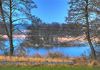
| Zioło Lake: 52°42'22.8"N 17°38'08.5"E, natural post-glacial lake, 100 km west of Włocławek. |
 |
 |
|
| Kruchowskie Lake: 52°36'11.6"N 17°48'17.7"E, natural post-glacial lake, 90 km west of Włocławek. Small lake with one vegetated island. |
 |
|
|
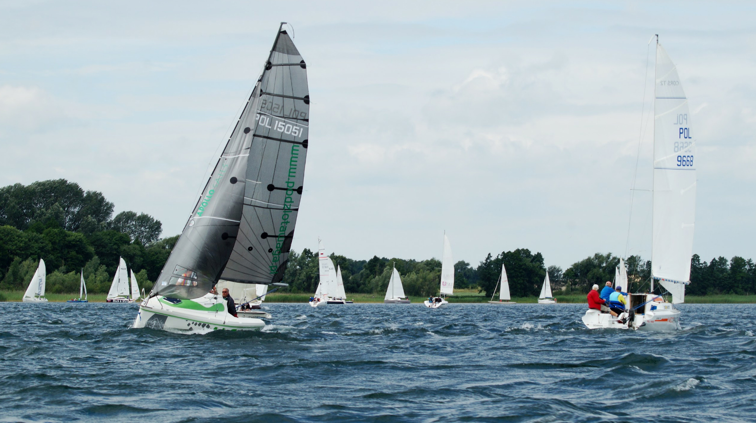
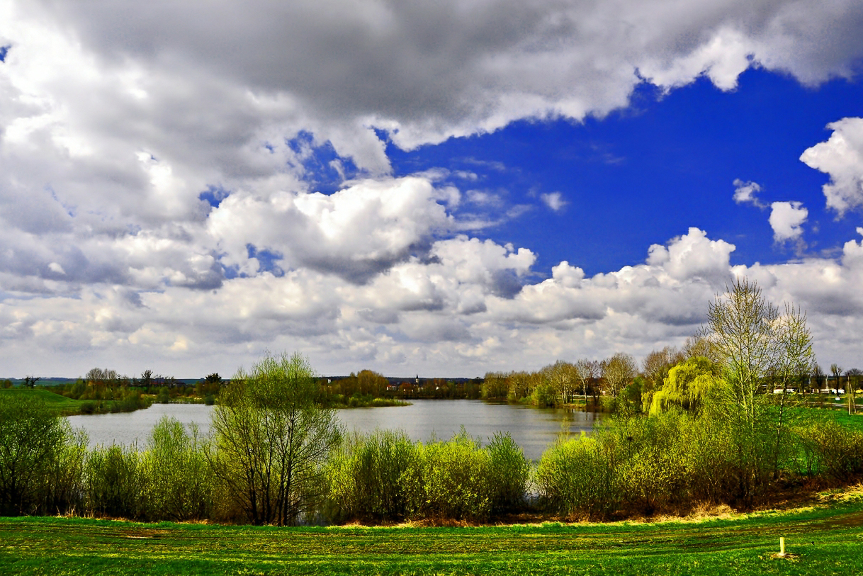
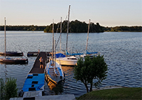
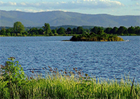
| Powidzkie Lake: 52°24'46.0"N 17°55'54.8"E, natural post-glacial lake about 90 km west of Włocławek; a narrow, long lake favorite for sailing. A vegetated island holds several breeding birds. |
 |
|
|
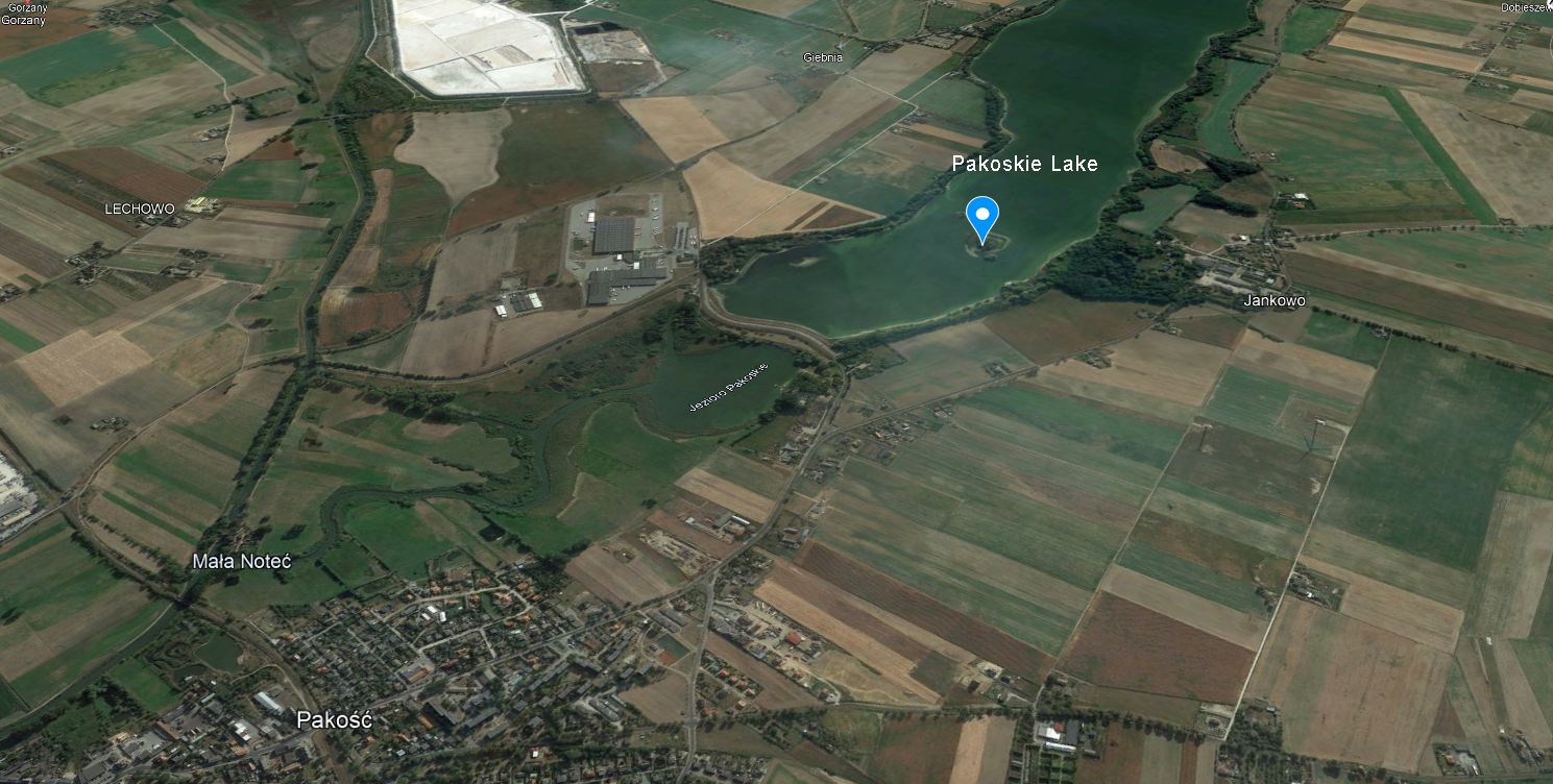
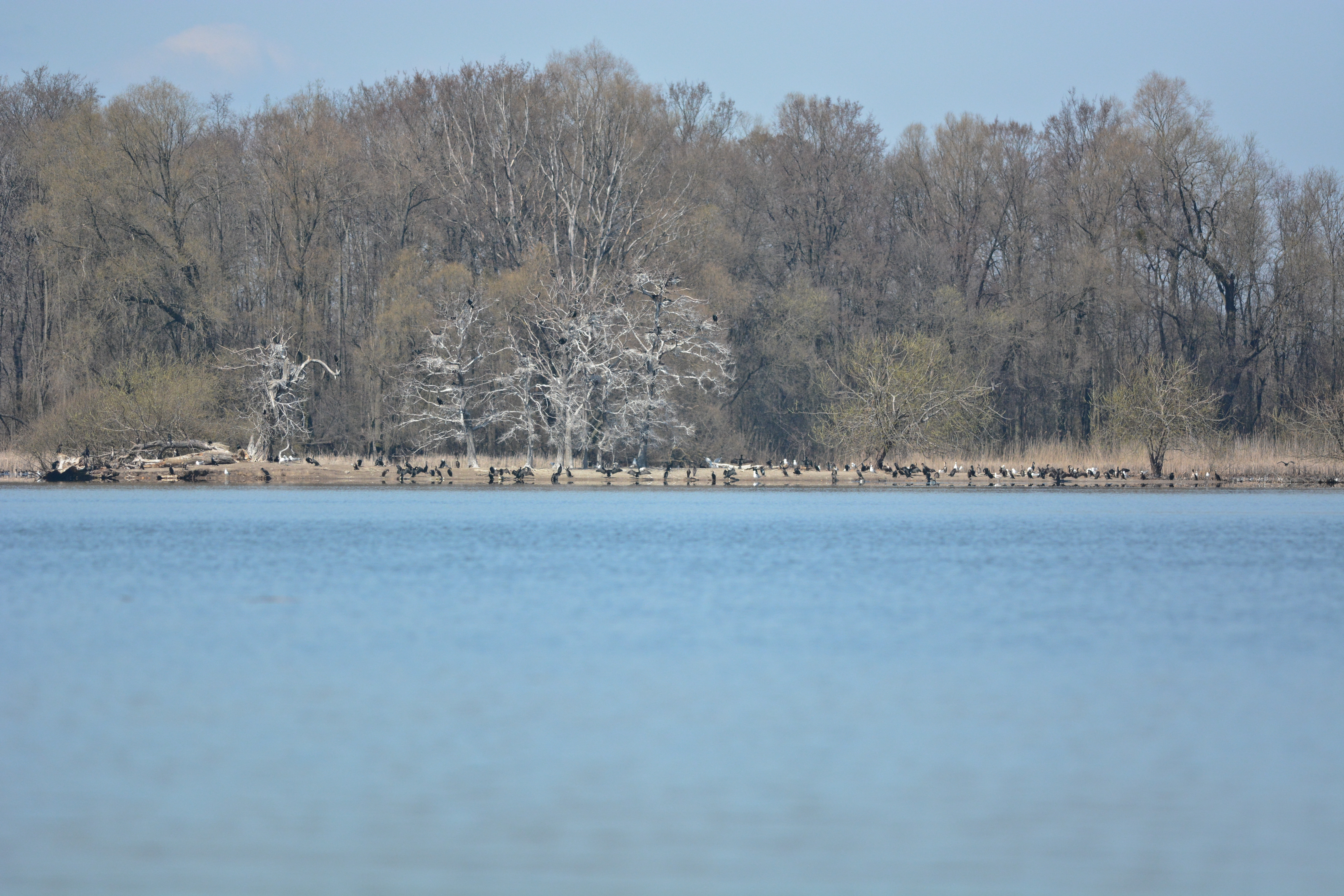
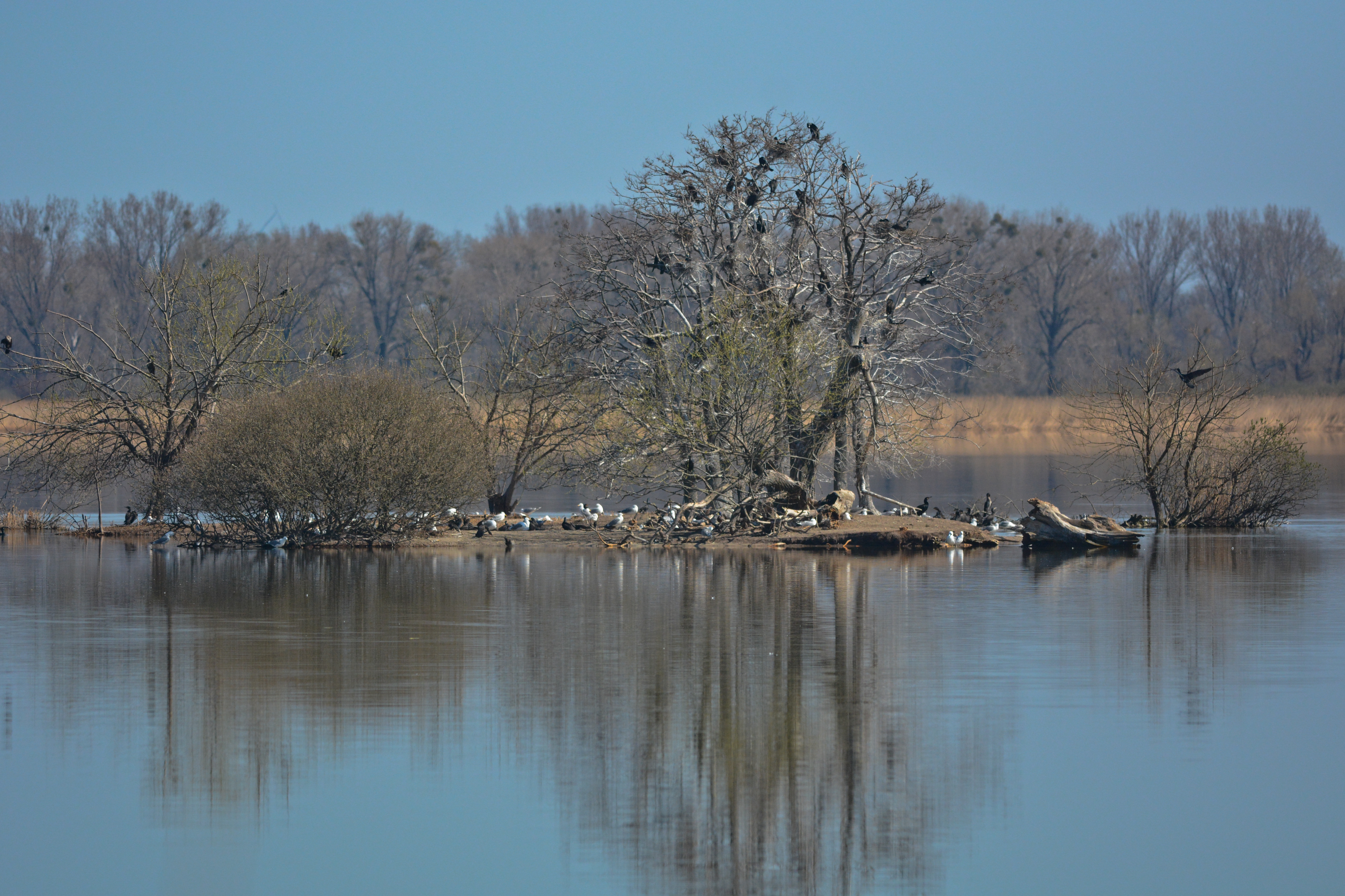
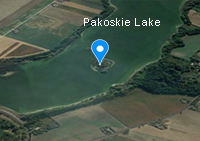
| Pakoskie Lake: 52°47'04.1"N 18°05'05.6"E, natural post-glacial lake. |
 |
|
|
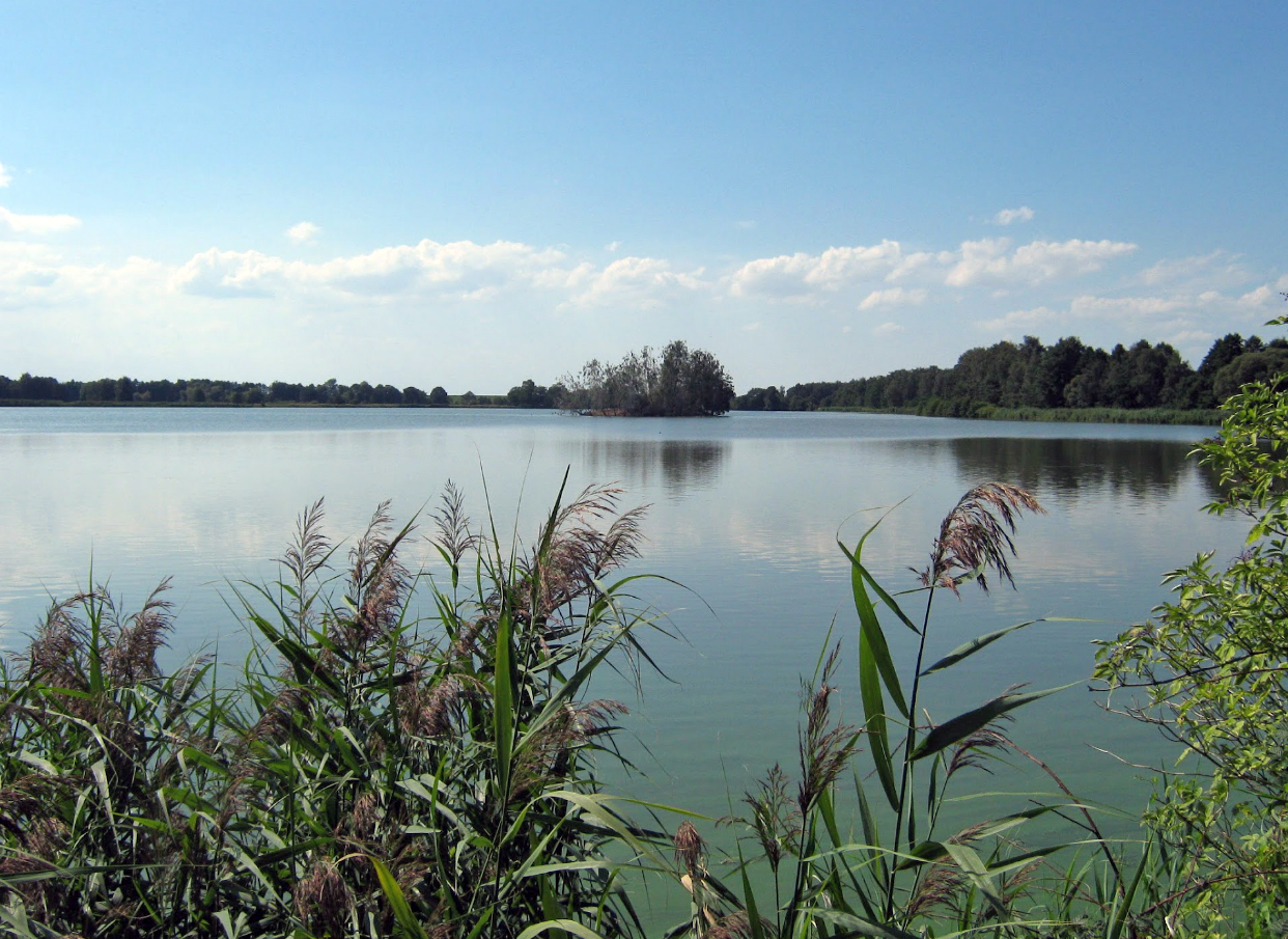
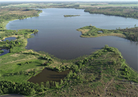
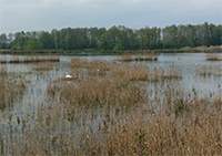
| Gopło Lake: 52°34'24.7"N 18°19'51.1"E, natural post-glacial lake about 50 km west of Włocławek; a narrow, long lake with several islands, vegetated with reed beds. |
 |
|
 |
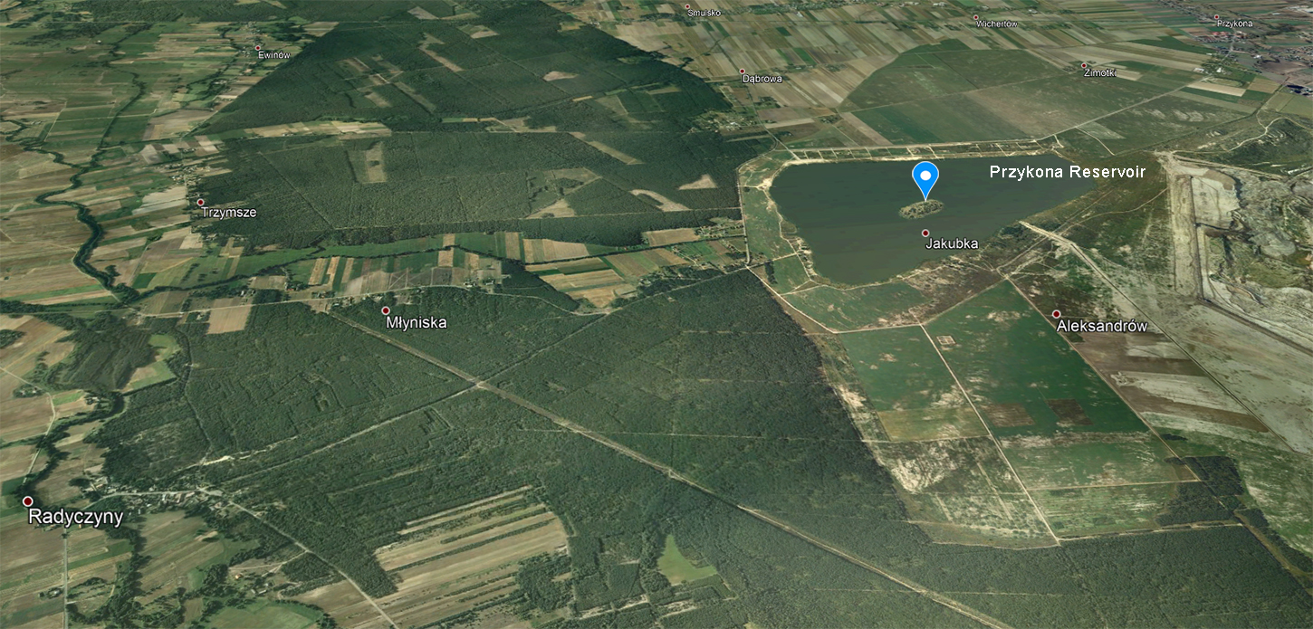
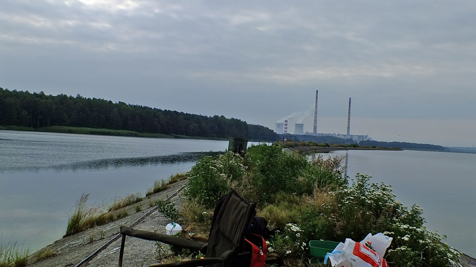
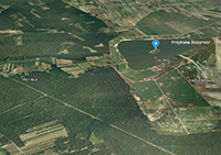
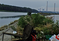
| Przykona Reservoir: 52°00'20.6"N 18°39'28.8"E, in central Poland is a post-mining reservoir. |
 |
|
 Caspian Gull cachinnans PLG DN 20642 3CY, December 23-24 2009, Wörth, Austria. Picture: Wolfgang Schweighofer. Caspian Gull cachinnans PLG DN 20642 3CY, December 23-24 2009, Wörth, Austria. Picture: Wolfgang Schweighofer. |
 Caspian Gull cachinnans 59P0 2CY, August 14 2012, IJmuiden, the Netherlands. Picture: Roy Slaterus. Caspian Gull cachinnans 59P0 2CY, August 14 2012, IJmuiden, the Netherlands. Picture: Roy Slaterus. |
| Arciechów: 52°22'52.0"N 20°05'18.5"E, island in river Vistula, between Włocławek and Warszawa. |
 |
 |
|
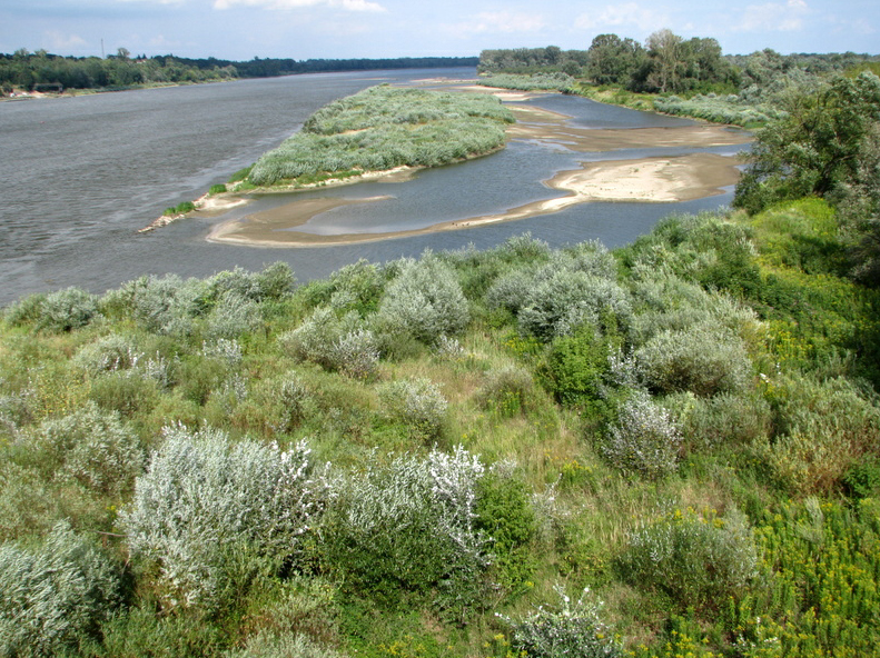
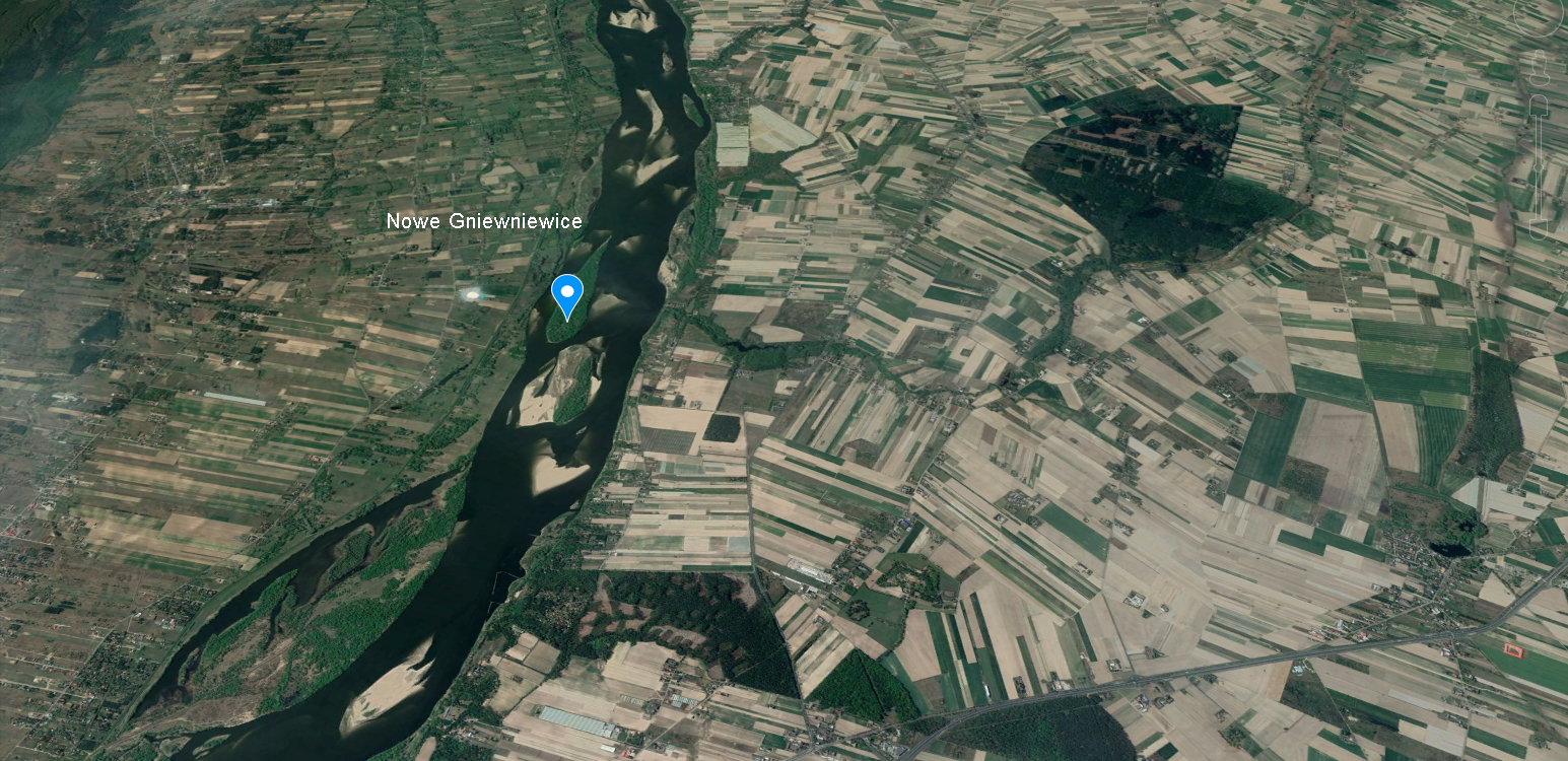
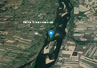
| Nowe Gniewniewice: 52°25'31.5"N 20°32'33.7"E, sand island in river Vistula, between Włocławek and Warszawa. |
 |
|
|
Warszawa-Targówek: 52°16'14.5"N 21°04'41.4"E, mixed colony with Herring Gulls located on roof-top of hall. |
 |
|
|
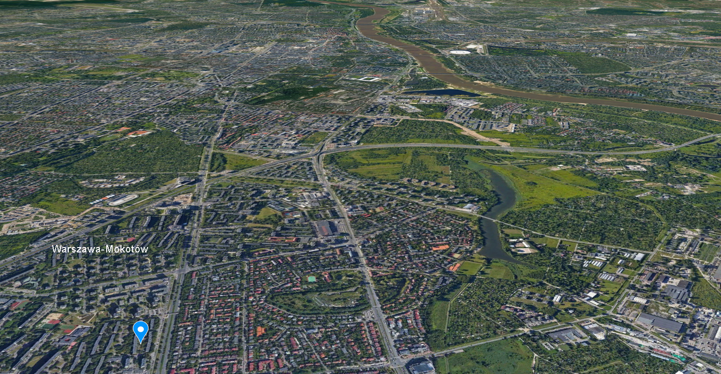
| Warszawa-Mokotów: 52°10'37.7"N 21°03'32.7"E, Mixed colony on block of flats in Warsaw (Mokotów district) breeding in a mixed colony with Herring, Yellow-legged and Lesser Black-backed Gulls. Details for this colony. |
 |
|
 Yellow-legged Gull michahellis near-adult, July 2018, Warszawa-Mokotów, Poland. Picture: Michał Kucharski. Yellow-legged Gull michahellis near-adult, July 2018, Warszawa-Mokotów, Poland. Picture: Michał Kucharski. |
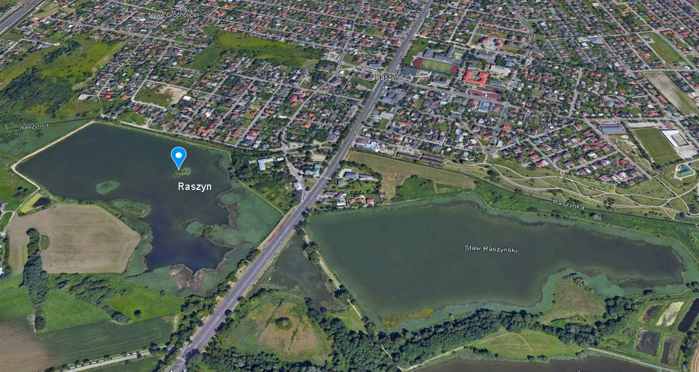
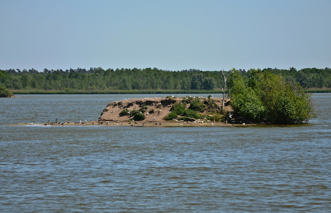
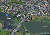
| Raszyn: 52°09'04.3"N 20°54'40.1"E, fishponds with small islands, at the edge of the village. |
 |
|
|
| Ruda Żmigrodzka: 51°29'24.9"N 17°02'23.7"E, fishpond (Rudy) with four small islands, in the Barycz river valley. |
 |
 |
|
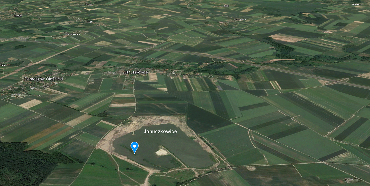
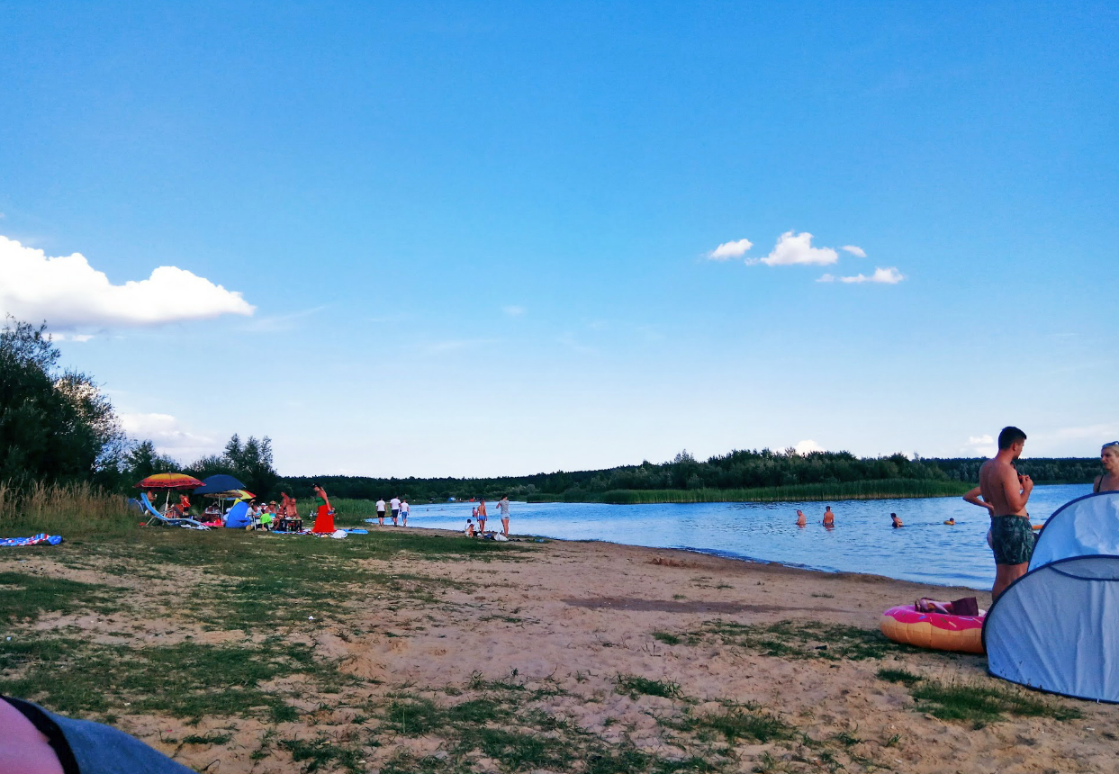
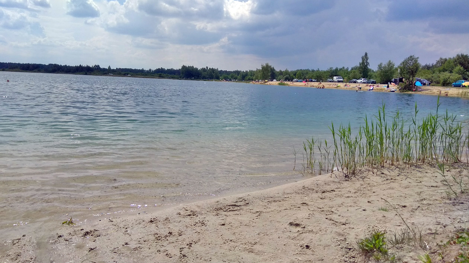
| Januszkowice: 51°12'40.4"N 17°15'11.8"E, sand pit. |
 |
 |
|
| Cieszanowice Reservoir: 51°14'14.9"N 19°41'25.7"E, dam reservoir on Luciąża river. |
 |
 |
|
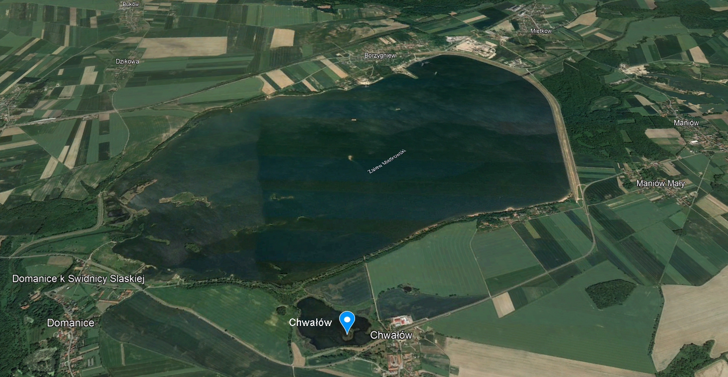
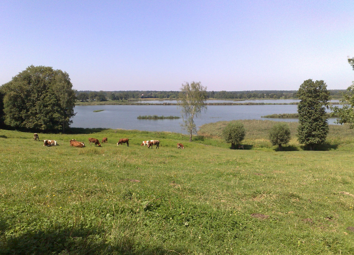
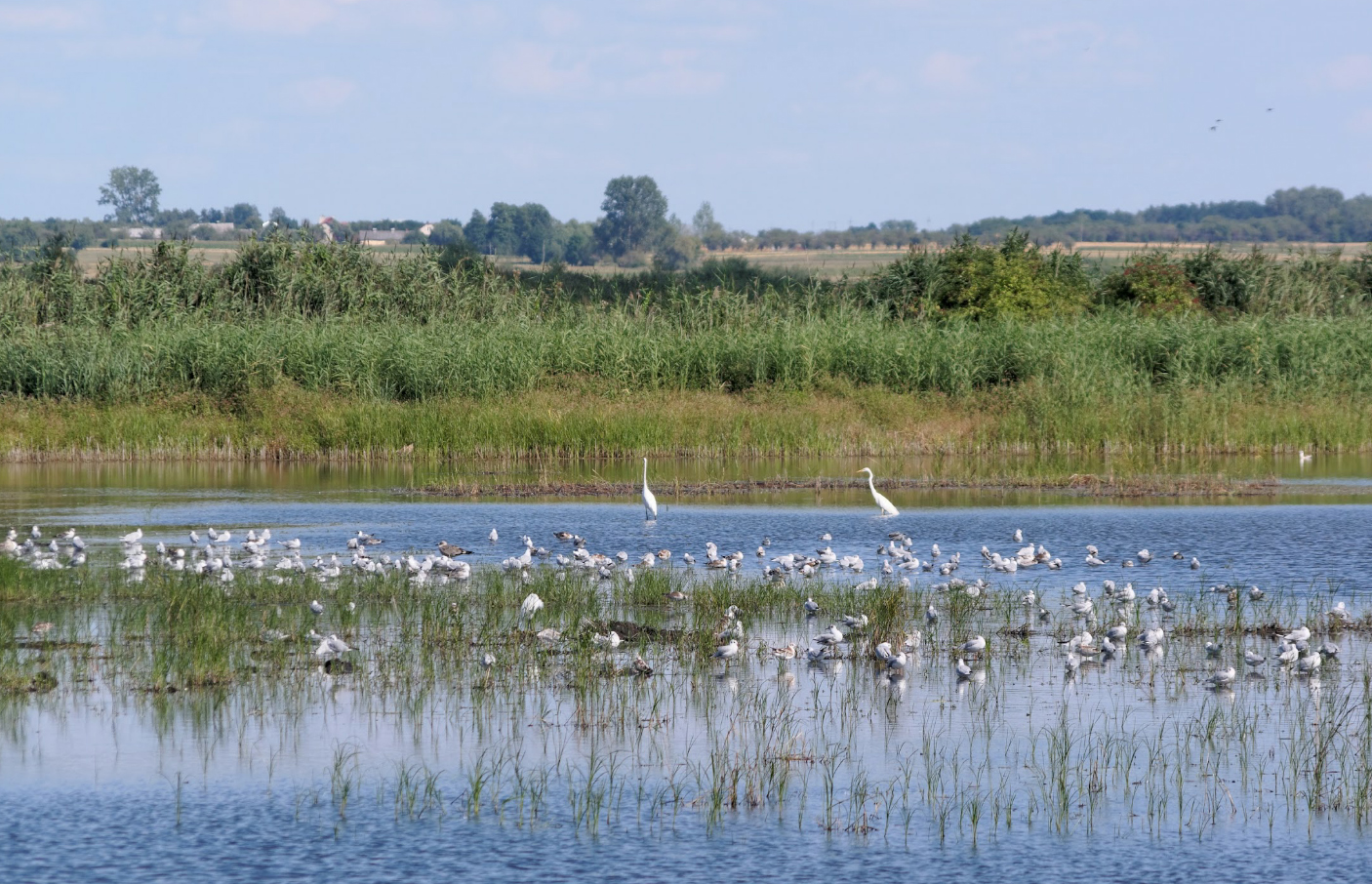
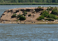
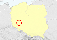
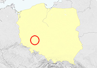
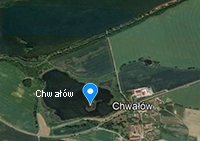
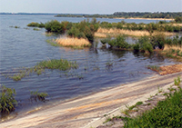
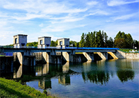
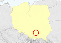
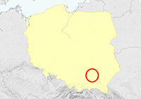
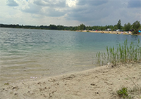
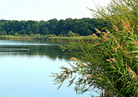
| Chwałów: 50°56'20.6"N 16°36'53.6"E, fishpond (considered part of the Mietków Reservoir, see picture). |
 |
 |
|
| Pilce / Kamieniec Reservoir: 50°30'52.1"N 16°48'57.3"E, gravel pit & Kamieniec Reservoir, just 10 km west of large colony Kozielno. |
 |
 |
|
| Topola Reservoir: 50°29'53.5"N 16°56'10.1"E, dam reservoir on Nysa Kłodzka river. This reservoir is connected to the Kozielno reservoir, which holds a large colony. |
 |
|
|
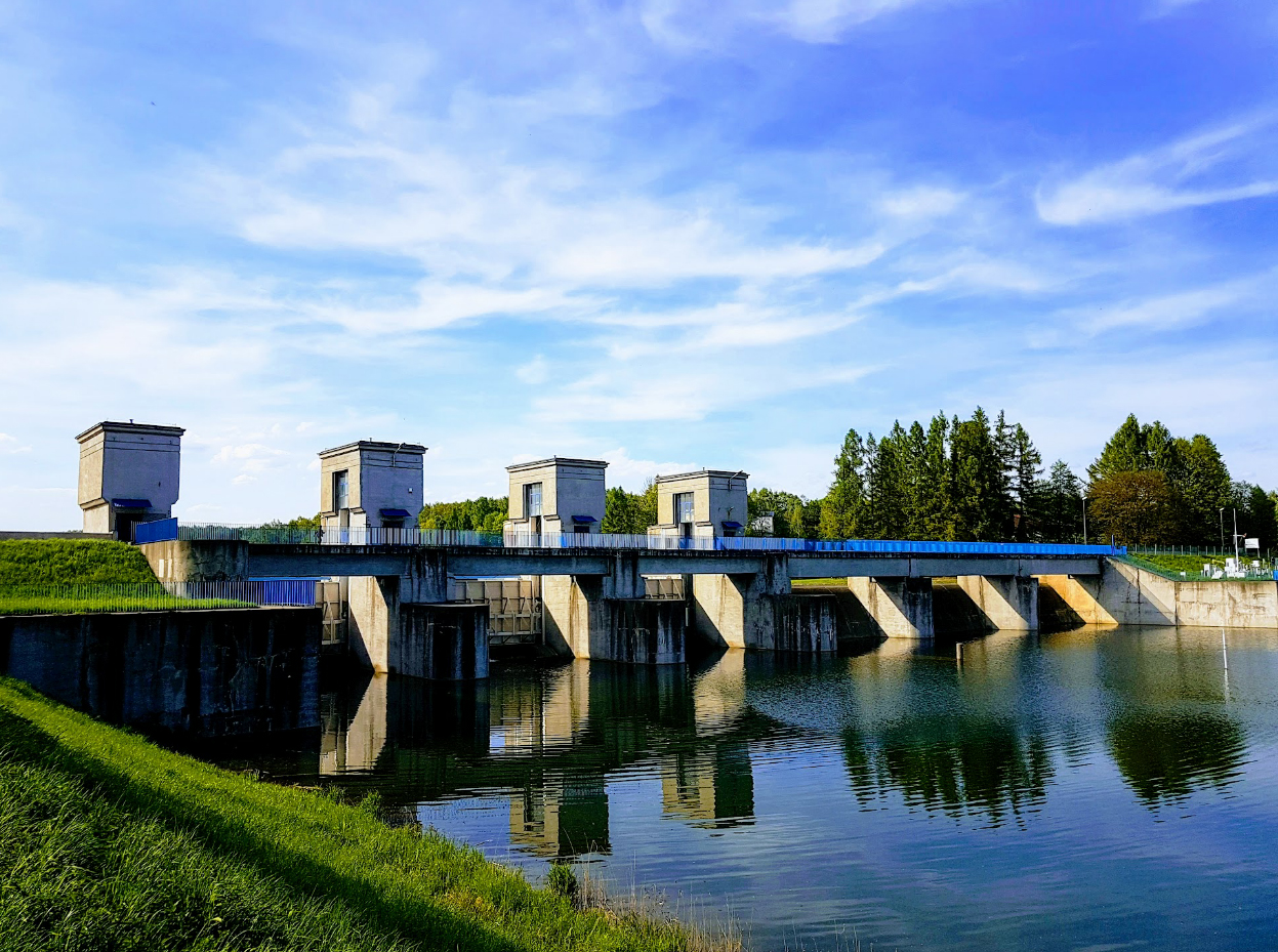
| Nysa Reservoir: 50°27'14.1"N 17°14'09.2"E, dam reservoir on Nysa Kłodzka river. |
 |
|
|
| Dzierżno Małe: 50°23'02.7"N 18°33'52.7"E, small post-mining reservoir with vegetated island. |
 |
 |
|
| Rybnicki Reservoir: 50°08'30.6"N 18°30'18.1"E, dam reservoir on Ruda river. This reservoir holds a long narrow dam, which is the location of a small gull colony. |
 |
|
|
| Roszków: 49°58'34.7"N 18°17'34.7"E, gravel pit, along river Oder in S Poland. |
 |
|
|
| Goczałkowice Reservoir: 49°56'07.1"N 18°50'57.8"E, dam reservoir on Vistula river. |
 |
 |
|
| Landek: 49°52'07.4"N 18°52'16.2"E, fishponds 5 km south of the Goczałkowice Reservoir. |
 |
|
|
| Zabrzeszczak Pond: 49°55'43.7"N 18°56'38.9"E, small island in a fishpond in Vistula river valley, just opposite the large Goczałkowice Reservoir. |
 |
|
|
| Maciek: 49°55'56.6"N 18°58'35.0"E, fishpond in Vistula river valley, quite similar to Zabrzeszczak Pond, and only 2 km from that pond. |
 |
|
|
| Brzeszcze (Nazieleńce): 50°00'58.4"N 19°08'12.1"E, fishponds in Vistula river valley. Oszust Pond & Lekacz Pond. |
 |
|
|
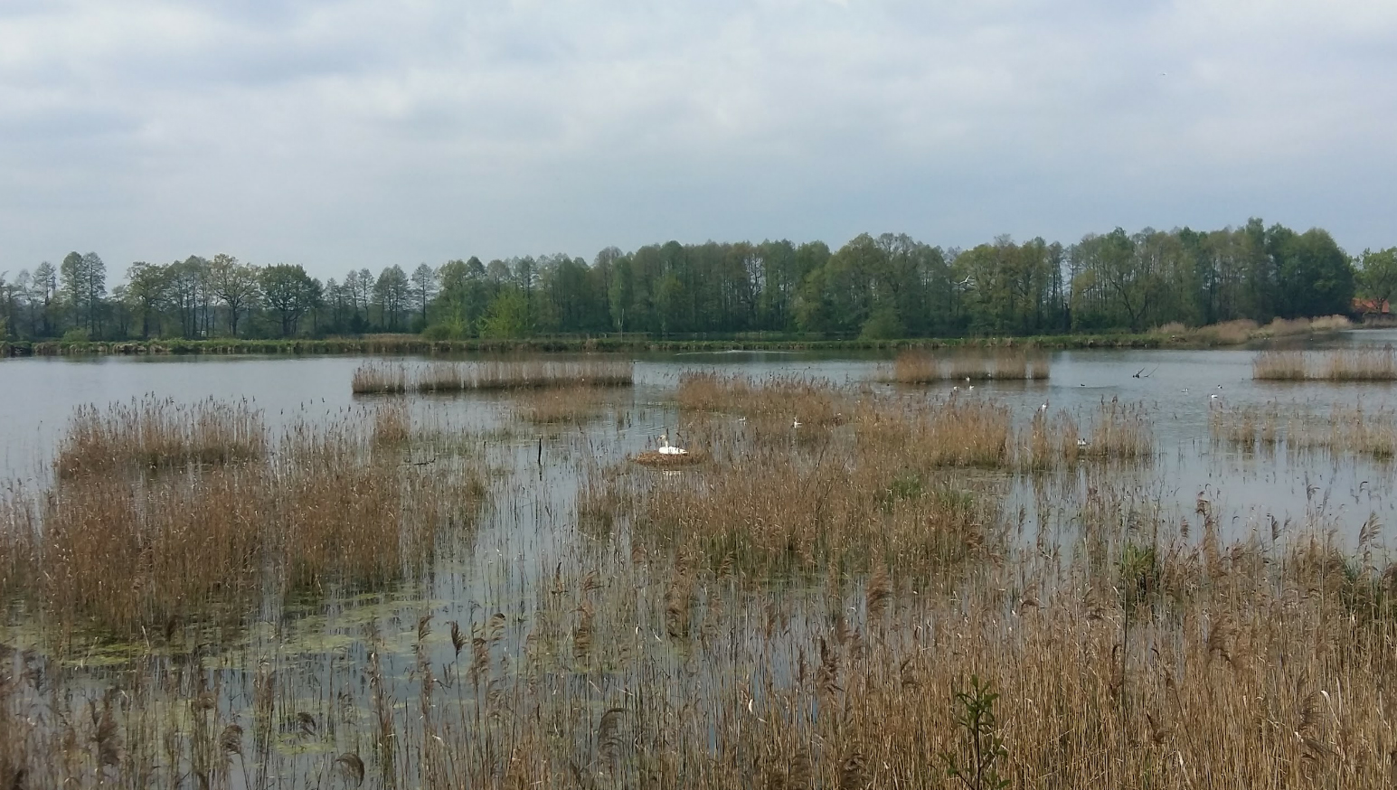
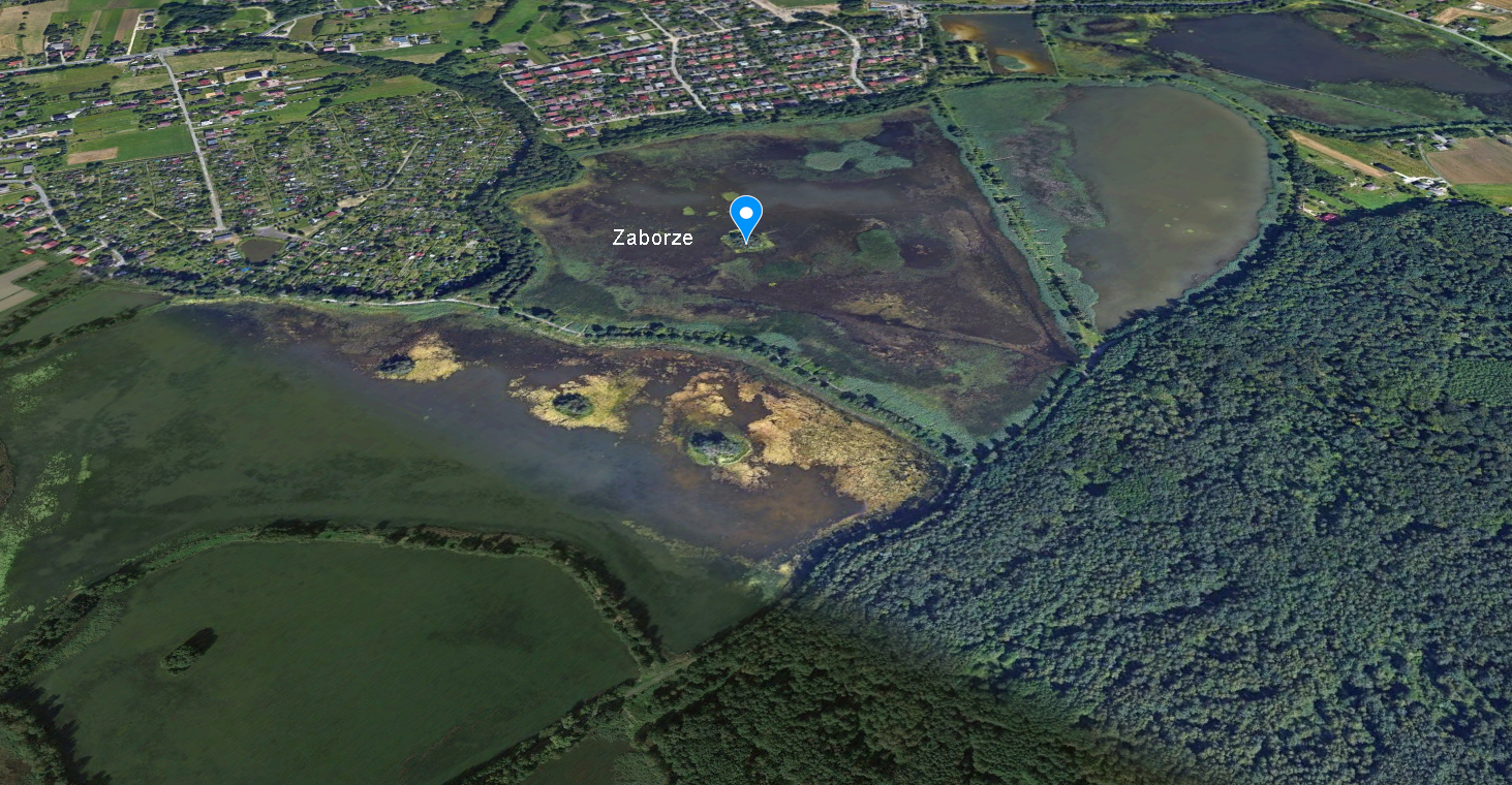
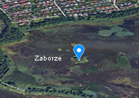
| Zaborze: 50°00'53.0"N 19°15'01.6"E, fishponds. |
 |
|
|
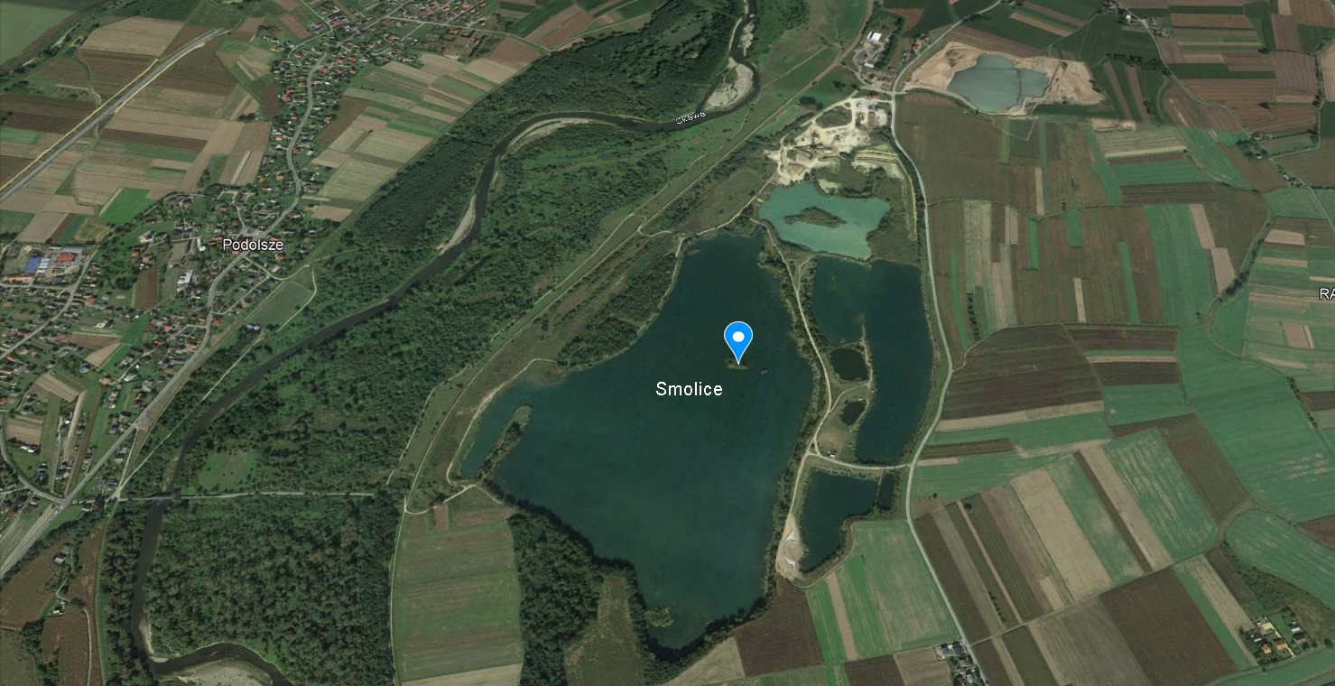
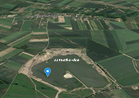
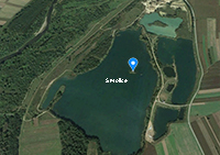
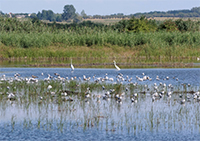
Smolice: 50°00'40.3"N 19°26'57.4"E. This location Smolice / Palczowice, together with Zakole B and Jankowice are a complex of oxbow lakes, gravel-pits and fishponds dotted along the river Vistula in S poland. Distance between these colonies is less than 10 km. Jankowice and the nearby Dwory colony hold the largest concentrations.
Some details HERE. |
 |
|
 Caspian Gull cachinnans PEEE 2CY, January & February 2012, Minden & Vlotho Herfold Detmold, Germany. Picture: Eckhard Moeller & Armin Deutsch. Caspian Gull cachinnans PEEE 2CY, January & February 2012, Minden & Vlotho Herfold Detmold, Germany. Picture: Eckhard Moeller & Armin Deutsch. |
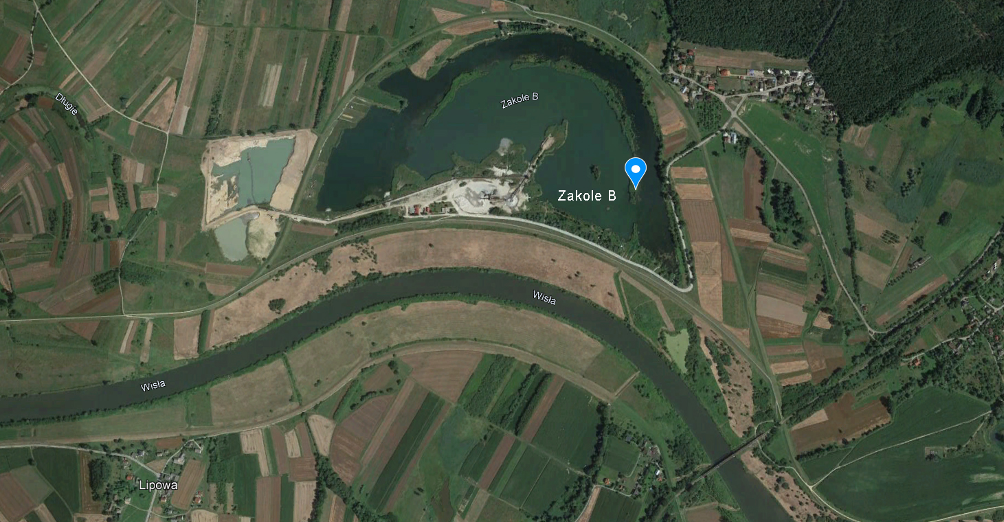
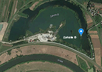
| Zakole B: 50°01'56.9"N 19°30'25.7"E, gravel pit. |
 |
|
|
| Liszki: 50°01'46.1"N 19°48'53.6"E, Kościuszko breakwater in river Vistula. |
 |
 |
|
| Kraków-Dąbie: 50°03'15.7"N 19°58'38.4"E, breakwater in river Vistula in Kraków. |
 |
|
|
| Górki: 50°20'37.2"N 20°43'52.0"E, fishponds. |
 |
 |
|
| Radłów / Tarnów Klikowa: 50°03'57.2"N 20°50'15.7"E, sand pit. Details HERE. |
 |
|
 Caspian Gull cachinnans PLG DA 07404 1CY, July 14 1999, Deponie Coerde - Münster, Germany. Picture: Armin Deutsch. Caspian Gull cachinnans PLG DA 07404 1CY, July 14 1999, Deponie Coerde - Münster, Germany. Picture: Armin Deutsch. |
 Caspian Gull cachinnans PLG DN 09082 1CY, November 18 2000, Deponie Coerde - Münster, Germany. Picture: Armin Deutsch. Caspian Gull cachinnans PLG DN 09082 1CY, November 18 2000, Deponie Coerde - Münster, Germany. Picture: Armin Deutsch. |
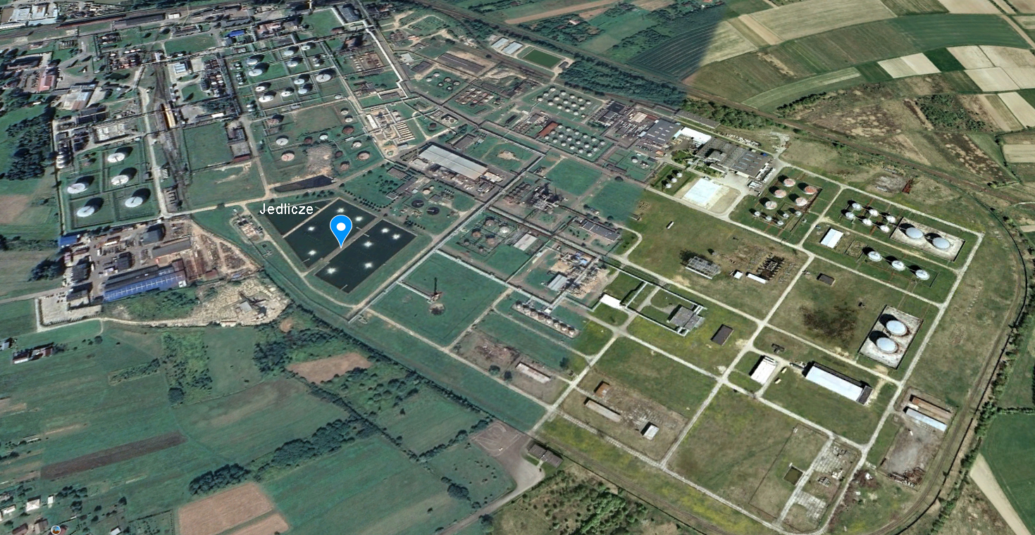
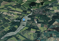
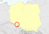
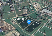
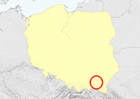
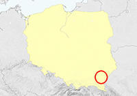
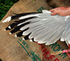
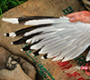
| Jedlicze: 49°42'34.6"N 21°39'56.3"E, artificial ponds, settlers in the very SE of Poland. |
 |
 |
|
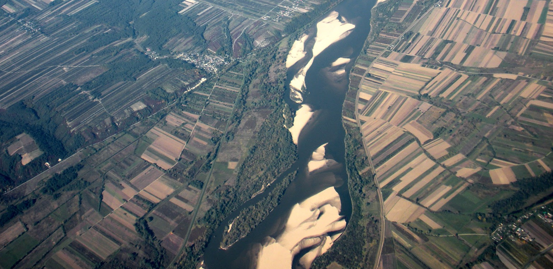
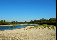
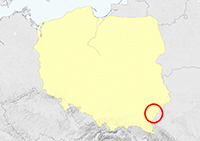
| Zawichost: 50°49'02.5"N 21°51'39.1"E, island in river Vistula. |
 |
 |
|
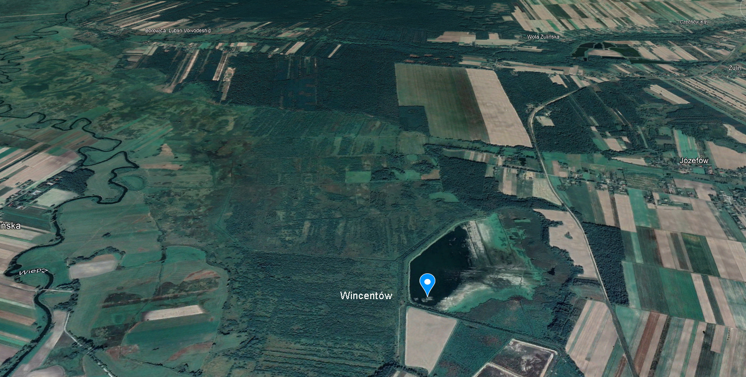
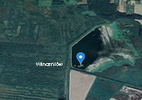
| Wincentów: 51°02'38.6"N 23°10'15.7"E, fishponds. |
 |
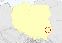 |
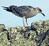
 Caspian Gull cachinnans 3P63 sub- adult, April 30 2014, Wincentów - Lublin, Poland. Picture: Łukasz Bednarz ringing team. Caspian Gull cachinnans 3P63 sub- adult, April 30 2014, Wincentów - Lublin, Poland. Picture: Łukasz Bednarz ringing team. |
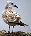
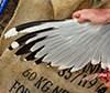 Caspian Gull cachinnans 3P64 adult, April 30 2014, Wincentów - Lublin, Poland. Picture: Łukasz Bednarz ringing team. Caspian Gull cachinnans 3P64 adult, April 30 2014, Wincentów - Lublin, Poland. Picture: Łukasz Bednarz ringing team. |
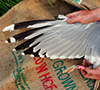 Caspian Gull cachinnans 3P65 adult, April 30 2014, Wincentów - Lublin, Poland. Picture: Łukasz Bednarz ringing team. Caspian Gull cachinnans 3P65 adult, April 30 2014, Wincentów - Lublin, Poland. Picture: Łukasz Bednarz ringing team. |
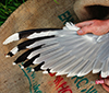 Caspian Gull cachinnans 3P66 adult, April 30 2014, Wincentów - Lublin, Poland. Picture: Łukasz Bednarz ringing team. Caspian Gull cachinnans 3P66 adult, April 30 2014, Wincentów - Lublin, Poland. Picture: Łukasz Bednarz ringing team. |
 Caspian Gull cachinnans 3P67 adult, April 30 2014, Wincentów - Lublin, Poland. Picture: Łukasz Bednarz ringing team. Caspian Gull cachinnans 3P67 adult, April 30 2014, Wincentów - Lublin, Poland. Picture: Łukasz Bednarz ringing team. |
 Caspian Gull cachinnans 3P68 adult, April 30 2014, Wincentów - Lublin, Poland. Picture: Łukasz Bednarz ringing team. Caspian Gull cachinnans 3P68 adult, April 30 2014, Wincentów - Lublin, Poland. Picture: Łukasz Bednarz ringing team. |
| Sośnica: 49°55'56.2"N 22°52'12.9"E, island on San river. |
 |
 |
|
| Starzawa: 49°52'10.5"N 22°59'22.6"E, fishponds. |
 |
|
|